bh

Historic Bunker Hill 3D Experience

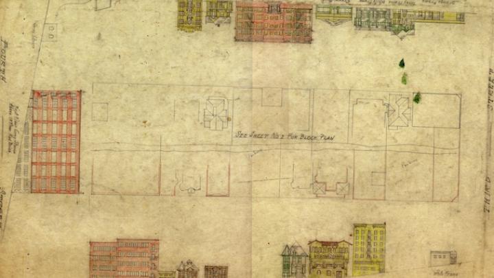
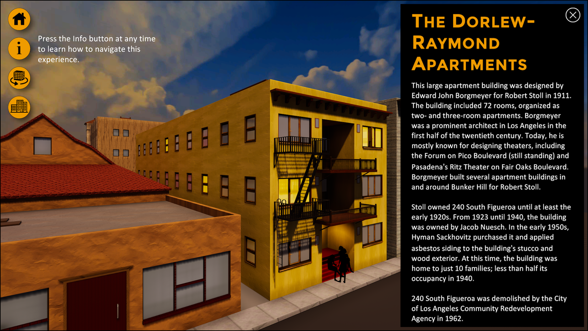
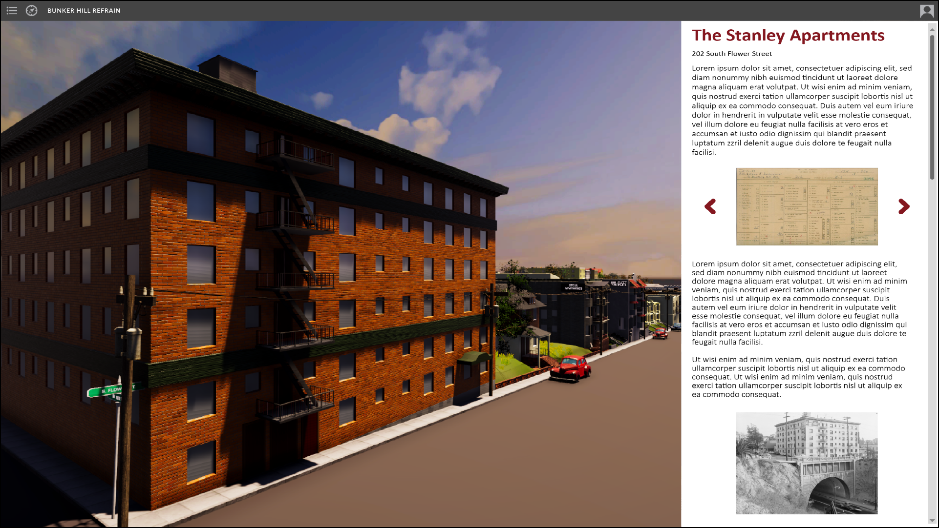
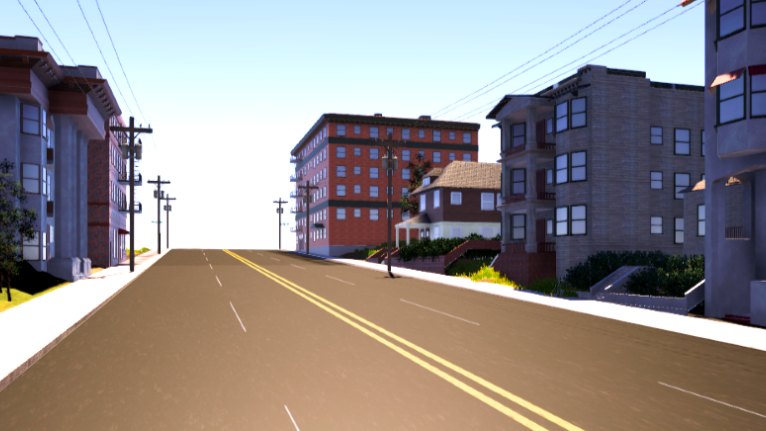
Part of the larger Bunker Hill Refrain project, our team is developing a web-based interactive experience of historic Bunker Hill that will allow users to immerse themselves in the lost neighborhood and access stories and information about people and places via archival sources and oral histories.

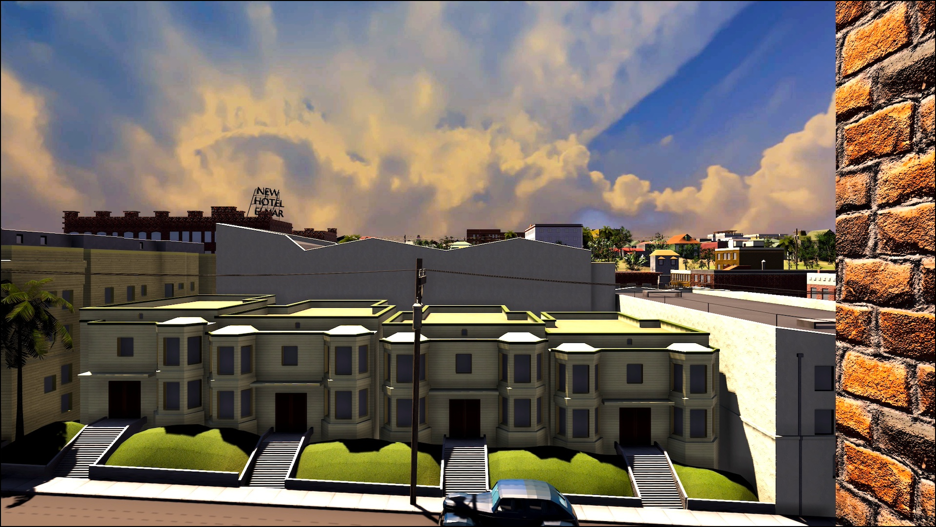
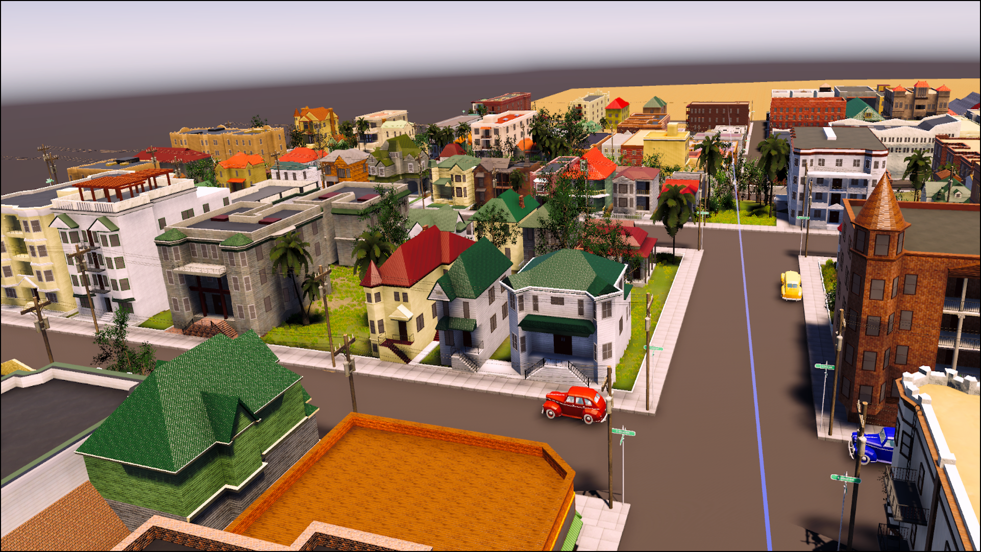
To date, the Historic Bunker Hill 3D Experience covers sixteen contiguous blocks (one square mile) of the neighborhood. 

Historical Sources

  • architectural drawing of bunker hill

    Architectural Drawings

    Architectural sketches created by the WPA in 1940 to assist in the construction of a scale model of downtown Los Angeles. The physical sketches are held by the City of Los Angeles City Clerk, City Archive and Records.
  • aerieal view of bunker hill from 1941

    Aerial Photography

    Photos from UC Santa Barbara’s Aerial Photography Collection, in particular, images from Flight C-7334, (frames 57 and 58), Aug. 14, 1941.
  • photo of 251 south bynker hill from 1955

    Historical Photographs

    Historical photographs from the period, primarily from USC Libraries Special Collections, the Huntington Library, Los Angeles Public Library, the California State Library's SoCa Digitization Project, and the Getty.
  • sanborn map of bunker hill

    Sanborn Maps

    Sanborn Fire Insurance Maps from Los Angeles, Los Angeles County, California .Sanborn Map Company, - May 1950; Vol. 1. Library of Congress.
bunker hill

The Bunker Hill Flyover Experience


windows icon

   Windows    
   Download


mac icon

   Mac    
   Download


bunker hill 240 fig

The Dorlew-Raymond Apartments Experience


windows icon

   Windows     
   Download


mac icon

   Mac     
   Download


bh

The Bunker Hill 3D Experience (in development)

A web-based interactive experience of historic Bunker Hill built with Unity and Scalar