Project Overview
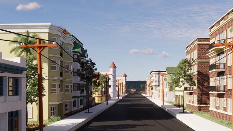
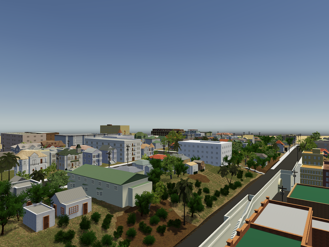
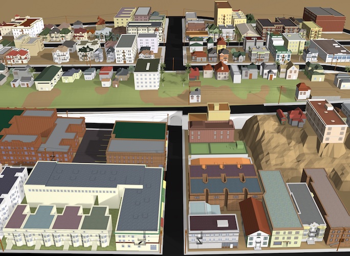
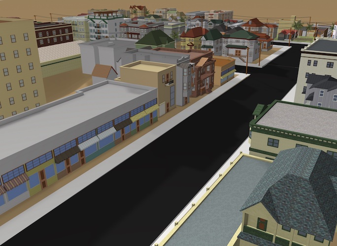
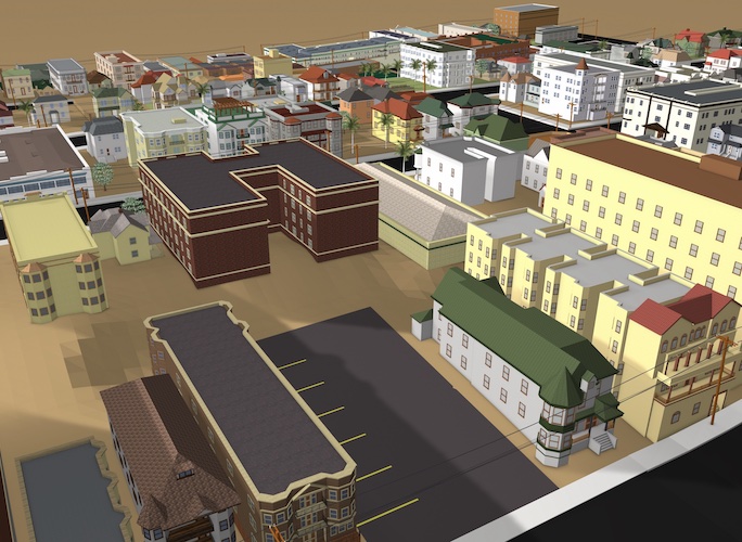
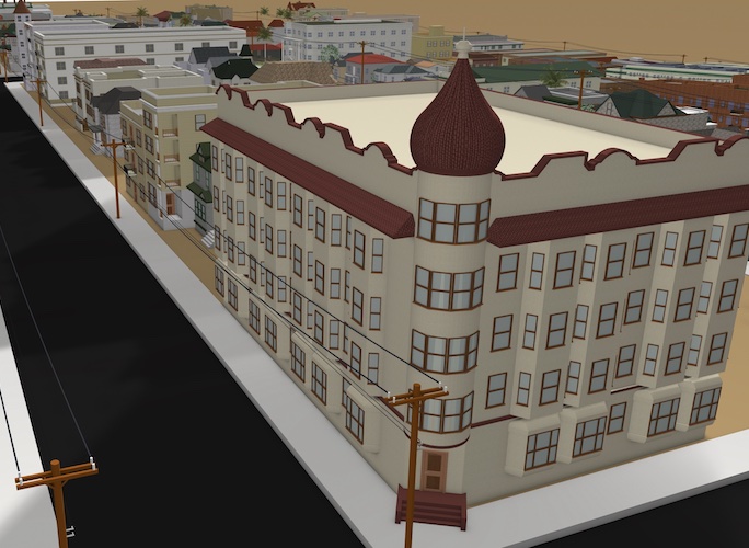
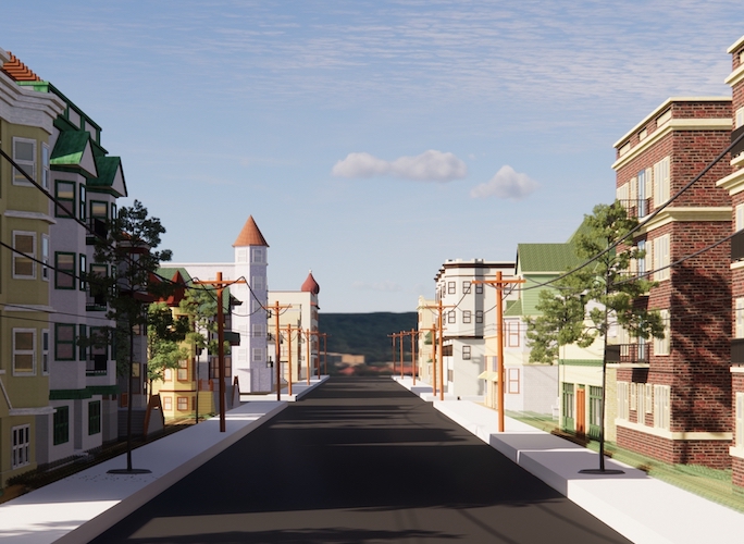
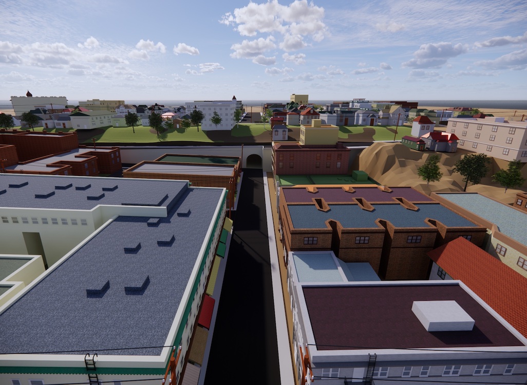
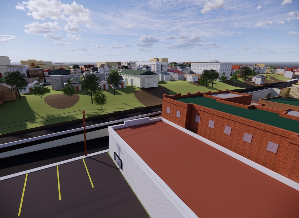
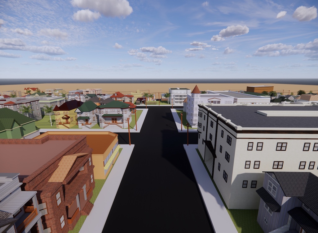
In spring 2022, the Bunker Hill Refrain team, along with Ahmanson Lab staff, researched, designed, and fabricated a 3D reconstruction of Bunker Hill from the late 1930s and early 1940s. Included in that reconstruction (as of May 2022) are 3D models of 172 buildings, terrain, and street features for twelve contiguous blocks of the historic neighborhood.
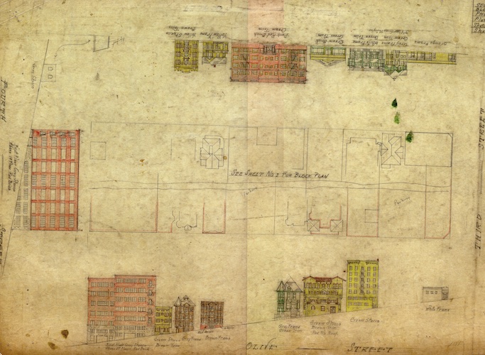
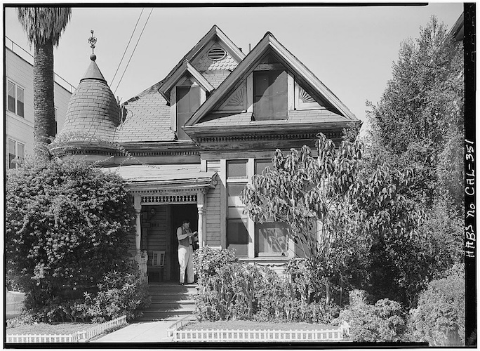
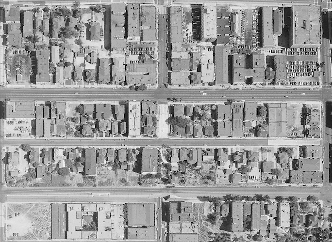
Archival sources (see images below) used to re-construct Bunker Hill included, among others: architectural drawings produced in 1939 by WPA artists and held at the Los Angeles City Archives; an architectural model on display at the Natural History Museum of Los Angeles County; Sanborn maps from the Library of Congress; historical photographs from the period accessed primarily from the Huntington Library, Los Angeles Public Library, the Getty, and USC Libraries Special Collections; and aerial photography from 1941, housed at UC Santa Barbara’s Aerial Photography Collection.
Th team generated a number of outputs with the 3D model, allowing users to interact with the historic Bunker Hill in several ways.
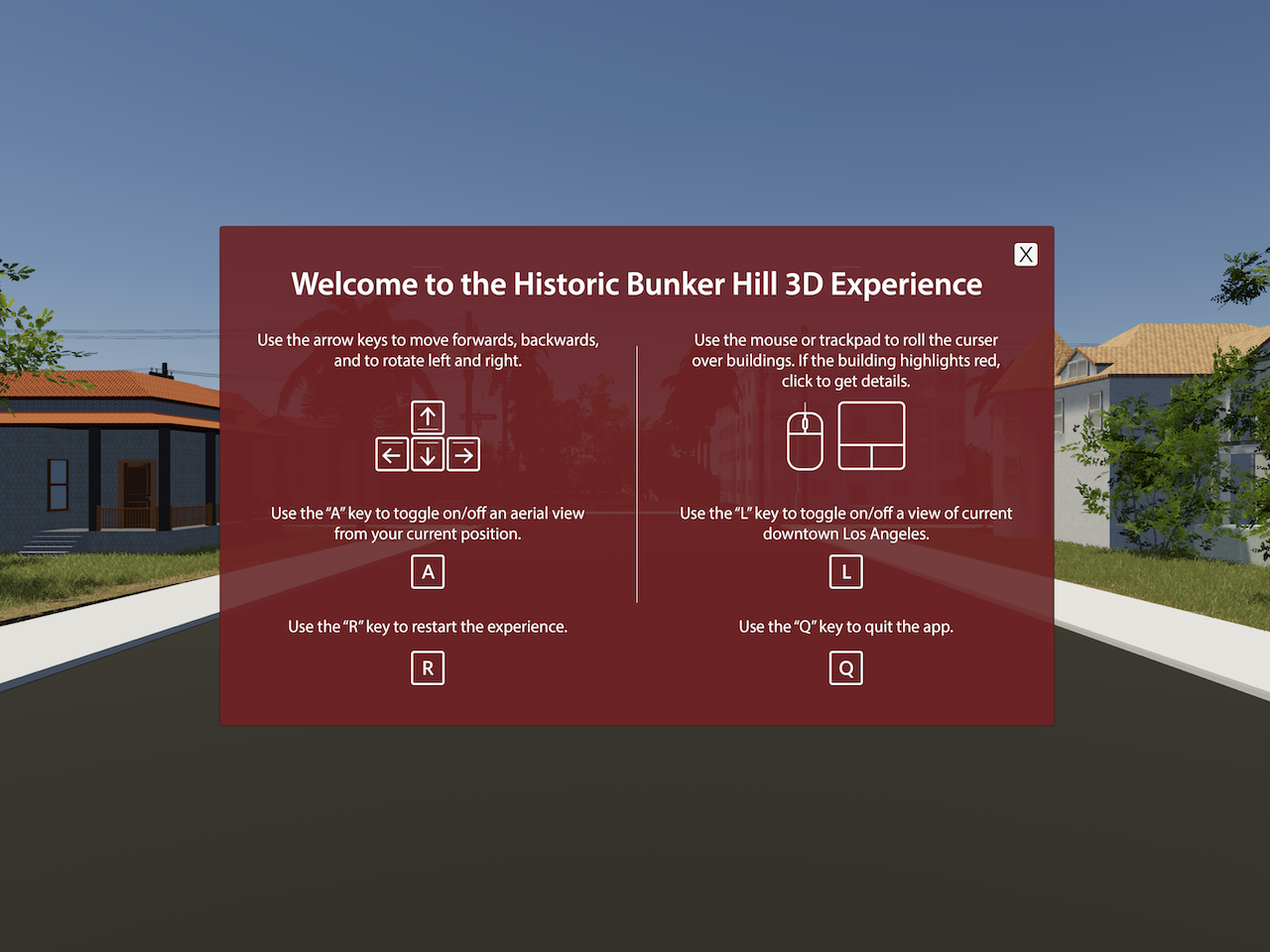
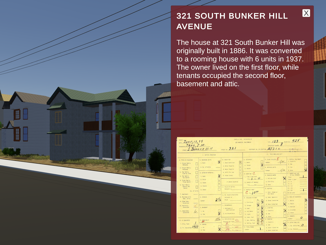
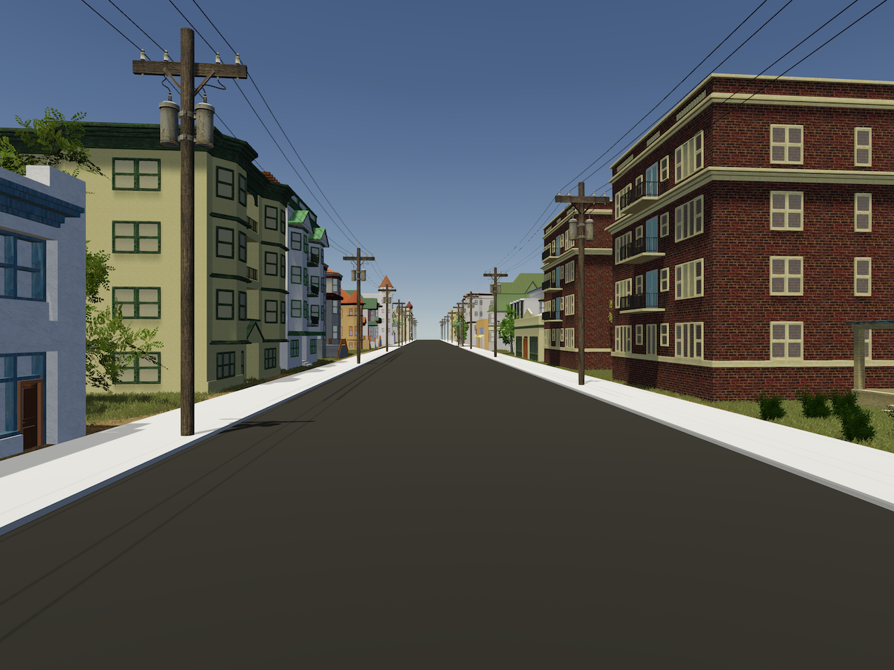
Using Unity, our team created an interactive experience of historic Bunker Hill that allows users to walk the streets of the model, click on select residences to see brief descriptions and census cards from the period and to toggle buildings from current L.A. on/off. This experience can be downloaded and viewed in both Windows and Mac.
The model itself can be viewed in Web a browser via Modelo and on a Windows PC via Enscape.
Three-and-sixty degree panoramas of the model can also be viewed on mobile devices via Enscape.
