L.A. City and County Geographic Information System (GIS) datasets
 LA GeoHub
L.A.’s public platform for exploring, visualizing, and downloading location-based Open Data. Includes a catalog of GIS data sets that are viewable in ArcGIS and downloadable as shapefiles or CSV files.
 Los Angeles County GIS Data Portal
The LA County GIS Data Portal is the place to search for GIS data created, maintained, licensed, and stored by the County of Los Angeles. Where possible we also make the data available for download.
 Los Angeles Department of City Planning GIS Data Sets
All sets are shapefiles that can be viewed in ArcGIS.
L.A. Interactive Data Maps
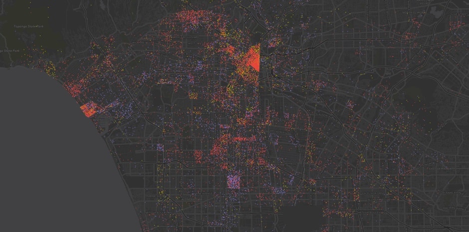
 Built: LA
Visualizes the age of roughly 3 million buildings across L.A. County constructed between 1890 and 2008. Hover over individual properties to discover birth years; hit the rainbow stopwatch to view a decade-by-decade timelapse; click on dates in the upper-left to filter by decade.
 L.A. Neighborhood Presidential Election Results, 2016
Precinct-level map of voting by neighborhood in California. Click on a neighborhood and scroll down to see the number of votes for presidential and congressional candidates and state propositions. Custom built.
 L.A. County Homeless, 2015
Count of homeless individuals, makeshist shelters and vehicles in L.A. County.
 Energy use in L.A.
Tracks consumption by energy type, building type, and location in Los Angeles.